|
| ABOUT |
|
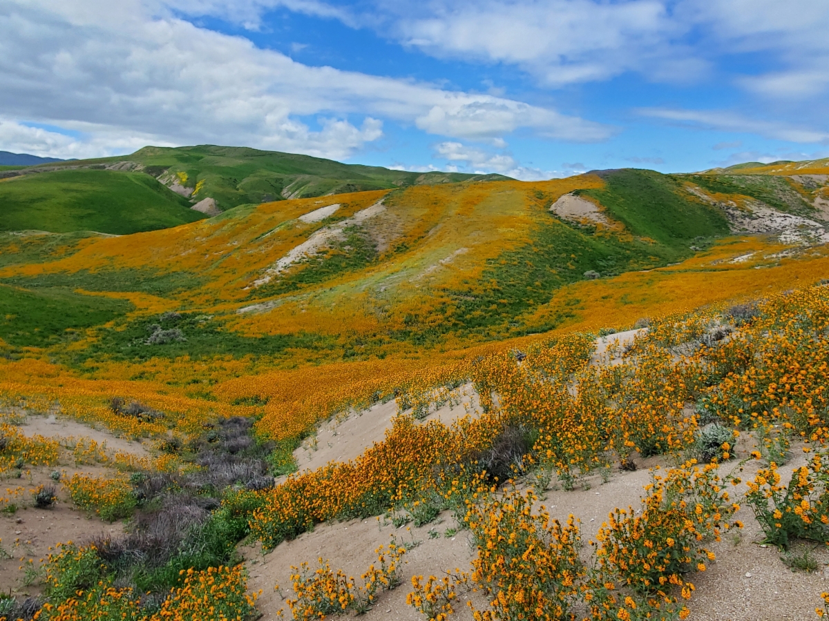
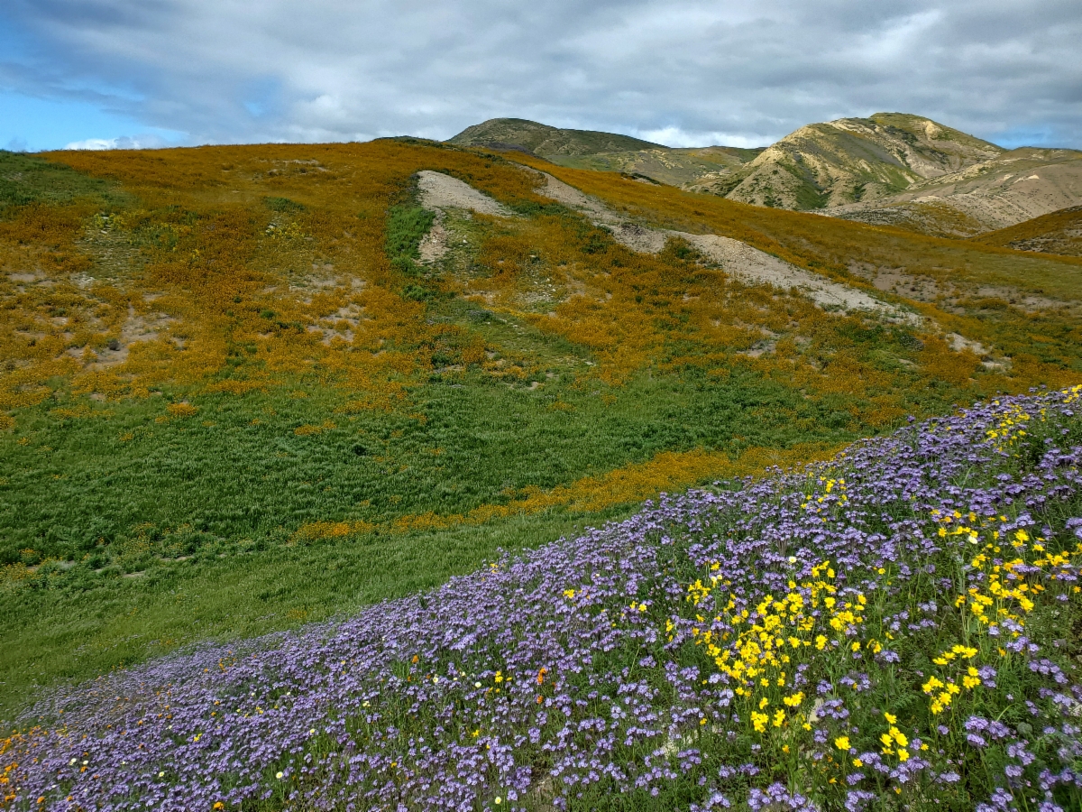
THE AREA - Panoche Road at Silver Creek. Very close to and easily accessible from Panoche Road. This is an easier to access alternative to Right Angle Canyon at Panoche Hills and High Point at Tumey Hills. Most of the species here are the acidic marine shale endemic annual plant species, rather than the vertic clay endemic species. This area experiences much more public traffic and much more target shooting disturbance than Right Angle Canyon at Panoche Hills and High Point at Tumey Hills. If you want just a quick few hour stroll to see the flora, this will be your spot. If you have all day and want to see the full diversity of this amazing flora, it is worth the extra effort to get to Right Angle Canyon at Panoche Hills and High Point at Tumey Hills.
|
|
FLORA - See descriptions for Right Angle Canyon at Panoche Hills and High Point at Tumey Hills in GREAT PLACES. The flora here consists primarily of the acidic marine shale endemic annual plant species, rather than also having the vertic clay endemic species.
|
|
HOW TO GET THERE - From the Panoche Road exit at Interstate 5, drive approximately 5.7 miles southwest on Panoche Road. Be aware that this section of Panoche Road is graded dirt (clay). It is navigable when dry, but completely impassable when wet (slick clay). Park along Panoche Road. Hop over the barned wire range fences and gates.
|
|
SAFETY - Watch out for target shooters. This is a popular sport on BLM lands in the area. Note that there is no cell phone service in this area. The nearest cell service is within one to two miles of the Panoche Road exit at Interstate 5.
|